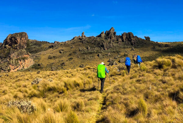
Affordable Hiking Tours in Mount Elgon National Park
March 19, 2026
Affordable Hiking Tours in Mount Elgon National Park
Affordable Hiking Tours in Mount Elgon National Park Trekking Adventure Without Breaking the Bank In…